What is this cadastral mistake? Such errors become problems for land owners. Documents that are stored in the real estate registry may contain errors. To make the necessary changes to the information base, you should adhere to the established procedure. How to do this will be discussed in the article.
The main types
Cadastral error is the appearance of inaccurate and incorrect data in the cadastre. Correction depends on the nature and causes. First, a technical error may occur. These are typos, clerical errors, grammatical inaccuracies and similar errors that are made by the cadastral authorities when entering data into the state real estate cadastre database (in short, the State Property Committee). As a result, the information does not correspond to the documents that are the basis for their entry. Typically, such inaccuracies are not barriers to the use of rights by their owners. Secondly, a cadastral error is incorrect data that appeared in accordance with clause 2, part 1, article 28 of the Law “On the State Property Committee” No. 221-FZ. These include information that has been reproduced from documents that are the basis for recording information in the cadastre.

Errors on other grounds
Errors may relate to the source of occurrence. This category includes erroneous information that was made due to the actions of authorities, operators, poor-quality data processing, as well as when they were converted and new information was added. According to the types of information on the cadastre, inaccuracies can be subdivided into those that were allowed when entering the price, area, land category, borders, type of use, and others. In terms of liability, there are mistakes that have already done harm to the holders of rights or to third parties, as well as those that have been made, but have not gone into subsequent work, and therefore have not caused harm.
The reasons
Let us consider in more detail the main types of errors.
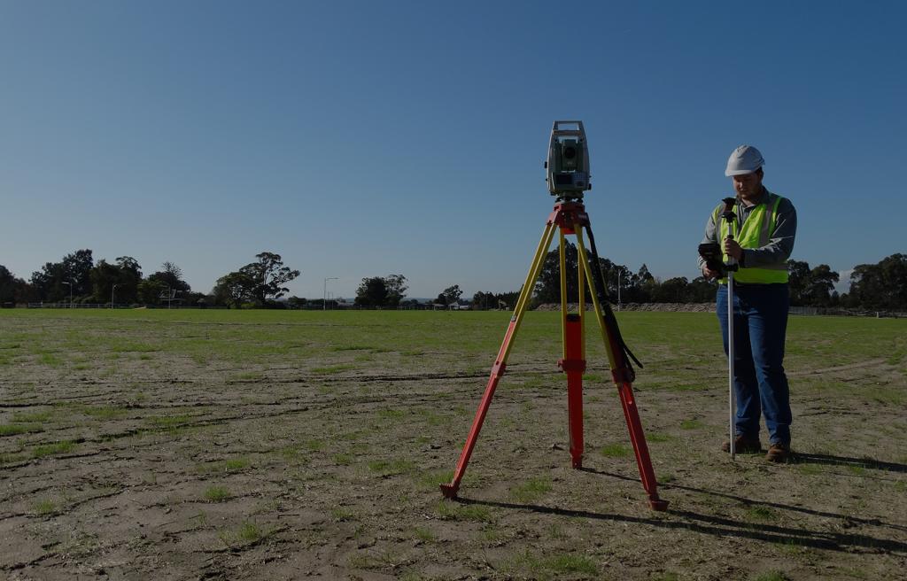
A technical cadastral error is the result of entering incorrect data by cadastre employees from the original documents. The reasons may be different. Basically, they are related to the actions of cadastral engineers, who make up the boundary plan.
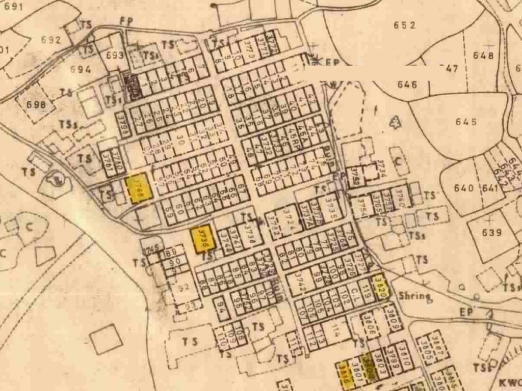
Currently, the most common errors concern incorrectly set coordinates of the boundaries of land. Such a mismatch occurs in the following cases:
- Many cadastral engineers use outdated equipment and make land surveying in local or conditional coordinate systems. while not taking into account the system of the national level.
- There are times when engineers do not even go to the area, entering approximate coordinates on the cadastral plan. The information is justified by cartographic data, as well as information on adjacent land plots that were previously registered.
- Not all engineers have the necessary qualifications to properly prepare equipment and perform subsequent measurements.
- Not all work is done with due attention. Because of this, miscalculations appear, as well as inaccuracies in one or another configuration of the fence, other incorrect data entered into the documents.
A cadastral error of a land plot may also be allowed by local authorities that perform: inventory work; preparing draft borders for the implementation of necessary actions; other documents that modify certain information of land.
Technical errors
Correcting these errors is usually not difficult. They are easily changed directly by employees of the appropriate structure.To do this, it is necessary to raise the boundary case from the archive and verify the specified coordinates with the data that is entered in the cadastral passport.
An inaccuracy of a technical nature is corrected by adopting an appropriate decision issued by the employees of this body or other persons when a cadastral error is detected. A technical error discovered by another person is corrected on the basis of an application that is submitted to them or a court decision regarding this inaccuracy.
As a rule, there is no need to contact a judicial authority in order to eliminate such inaccuracies. Employees of the registering authority, whose powers include maintaining the State Committee for Civil Protection, check and correct all errors that are discovered. Only in exceptional cases, the relevant authorities refuse to correct information relating to cadastral objects. Then elimination of the error is possible through the court.
The adjustment is carried out within 5 working days after detection, receipt of a statement or a court decision by the registration authority. During the same period, a refusal to correct the cadastral error is provided.
Information Inaccuracy
In part 4 of article 28 of the law on the State Property Committee, it is indicated that cadastral errors are corrected in the prescribed manner for the purpose of accounting for real estate. If the documentary source of inaccuracies is the boundary plan, they are eliminated through information interaction or through a court decision that indicates the need to eliminate errors. Thus, corrections are made through:
- Administrative intervention.
- Court decision.
Currently, each owner has the right to report a cadastral error and contact the office of the cadastral authority in person or by sending an electronic application to the public services website on the Internet. If the error is established by the state structure, then a decision is made to eliminate it. It indicates the date of inaccuracy detection, description and reason why this information is recognized as incorrect. A documented basis for the correction of the cadastral error is also reported.
The body that maintains the relevant records sends the document to the person who submitted the application and to the authorities authorized to enter the relevant information. Data is entered into the information base six months after the decision is sent to the owner of the rights to the cadastral object.
Administrative Correction
As indicated earlier, due to incorrect information about the boundaries of land plots listed in the boundary plan, the most common cadastral errors occur. This is detected, as a rule, as a result of a land surveying procedure carried out by neighbors.
The engineer who draws up the boundary plan gets the coordinates of the borders. And then he finds out that they differ from the data indicated in the available boundary documents. Usually, in this case, the cadastral engineer, who takes measurements from a neighbor, turns to the owner of the site where the error is found, with a proposal to eliminate it.
The owner of the right to the site where there are errors can report this to the company that was engaged in surveying. If they refuse to do the work to eliminate them for free, then you should contact the court.
Correction can be carried out by any cadastral engineer. Therefore, if it turns out that the borders of one section cross the land of another section, the specialist indicates in the boundary plan new correct information about the coordinates of the borders.
Nuances depending on the date of registration
If the neighboring sections where the intersection is detected were registered before March 1, 2008, then the borders need not be coordinated with them. The amended boundary plan in this case is provided to the cadastral authority. On its basis, both the corresponding land allotment is registered, and changes are made to the borders of existing territories.
If neighboring plots are registered after this date, then you must first file an application for the correction of the cadastral error by submitting documents establishing ownership of a particular plot, as well as all neighboring plots, the borders of which are affected.
Going to court
Evidence of erroneous data contained in the cadastre must be submitted to the judicial authority. The following may become grounds for going to court:
- Refusal of the cadastral authority to correct the inaccuracy based on the statement of the interested person.
- Conclusion of the engineer about the error found during the process of surveying.
- Refusal of the registering authority to register the site due to a discovered cadastral error.
It is customary in judicial practice to send notice to all those interested in correcting a mistake after making an appropriate decision. Changes must be made no later than the deadline specified in the decision, or within 5 days if there is no specific period in the court document.
If the court order is not executed, the applicant has the right:
- Contact the judicial authority to obtain a writ of execution requiring you to amend the cadastre accordingly.
- Submit an application to the court for the imposition of a fine on an authorized body that has evaded the execution of a court decision.

A responsibility
Since the boundary plan is composed of engineers who have passed the relevant certification, they are responsible for the occurrence of inaccuracies in official papers. If this specialist indicates deliberately incorrect data, then he faces a penalty in the form of a fine in accordance with the Code of Administrative Offenses of the Russian Federation or disqualification for up to several years. Responsibility comes under Article 14.35 of the Code.
However, if these actions resulted in damage on a large or especially large scale, the offense is qualified by the criminal, and not the administrative code. According to Article 107.2 of the Criminal Code, the fine in this case can be from 100 thousand to 500 thousand rubles, and disqualification - up to 3 years.
Why are owners sometimes in no hurry to correct mistakes?
It seems that the copyright holder is interested in the speedy correction of the identified error. However, this does not always happen. Sometimes owners do not want to make changes to the State Register of Real Estate or do not pay attention to them. This may occur in the following cases:
- Thanks to the data in the cadastre, the tax was reduced, for example, due to the incorrectly indicated category of land.
- Manipulating the site will lead to serious material costs. For example, if a house is built on a site, and later it turns out that it is located on the border with an adjacent site. This means a lack of indentation, which does not meet building standards.
- Plot size increased as a result of incorrect measurements.
Conclusion
A cadastral error is corrected at the request of the owner, in legal relations between departments or by court order. Technical errors in documents are much easier to correct than errors made, for example, by an engineer taking measurements and making up a boundary plan. Both the original and the changed data are entered into the State Register of Real Estate.