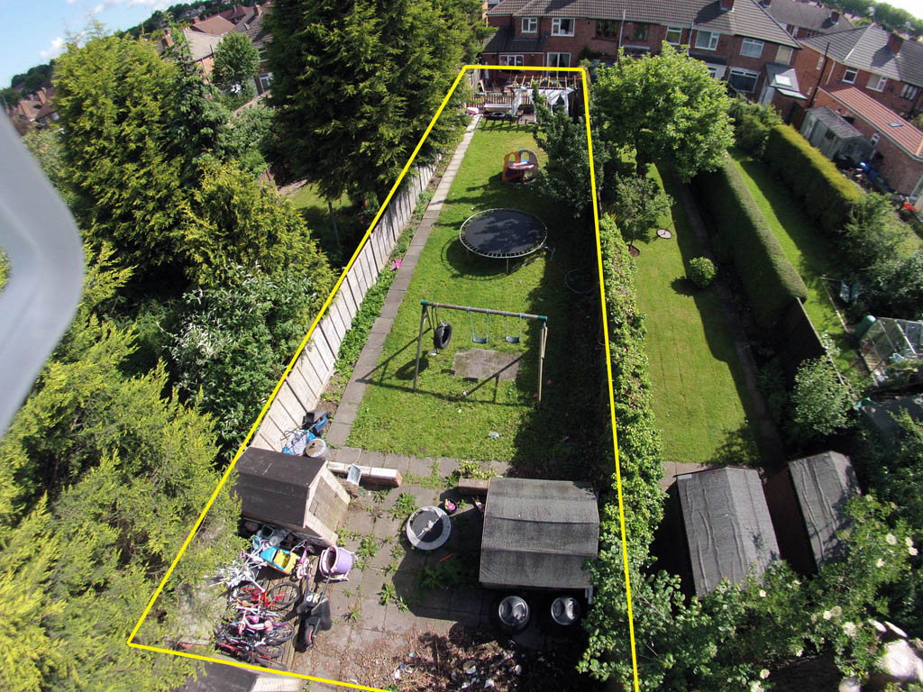
Often the owners of garden plots face various problems associated with neighbors and the definition of the boundaries of the territory. To prevent such disagreements and difficulties, it is required to carry out surveying of garden plots. This process is to establish the boundaries of the site. It is carried out only by professionals. Therefore, you need to perform sequential steps to get results.
General points
The cost of surveying any site is considered affordable, and this service is offered by numerous companies. Due to this process, the owners of the territory can solve several significant problems at once. For land surveying of garden plots it is required to pay a state duty fixed in all regions of the country. The process is represented by the completion of several activities in relation to the site. Such works include:
- division of territory;
- fixing the boundaries of different sections.
The procedure can be performed on any terrain. Upon its completion, documentation will be provided containing information about the different parameters of the site, and the total area of the separated land will also be provided.
Pros and cons of the process
The procedure begins only at the request of the owners. Often, citizens ask themselves whether it is necessary to make a survey of the garden plot. The process is not mandatory if there is no desire for a person to register an object in property or to make various transactions with it. Land surveying is accompanied by many advantages:
- the boundaries of the territory are fixed in official documentation, which is handed over to the owner of the land;
- further operations and transactions may be performed with this section, which include sale, gift or exchange;
- the cost of the process is considered acceptable, therefore, it will not be necessary to prepare a lot of funds;
- only if there are results of the process, you can count on the registration of the site in Rosreestr.
The disadvantages of the procedure include its duration, since it usually takes more than 1.5 months. Some companies deliberately delay the deadlines. It was a free land survey until 2018. The law now indicates that all persons who did not have time to complete the procedure before the start of the year must pay a fee for it. But it is considered not too big. Is it obligatory to make a survey of the garden plot? If the owner of the territory has a land surveying plan and the land is registered in the Rosreestr, then this procedure is not required.
Who can order the process?
Any Russian or foreign citizen can buy and dispose of garden plots. Accordingly, they have the right to carry out surveying of garden plots in the prescribed manner. But for this, a special document must be available that confirms the person’s right to own this property. People who have different documents in the territory can apply for the service:
- land acquisition agreement;
- gift;
- exchange agreement;
- certificate of inheritance, if the plot was transferred from a deceased relative to the heir;
- court decision on the basis of which ownership of the territory is registered.
Not only the rightful owner of the territory, but also his representative can apply for a land survey. He is usually represented by a relative or friend. This requires a notarized power of attorney. Usually, the need for representation arises if the owner of the property himself cannot, for various reasons, engage in the process.Only a competent and adult citizen can carry out a land survey. Often inherited land becomes the property of children. In such a situation, the legal representative of the minor must resolve all issues for the child.
Where to go?
Initially, you should decide on the purpose of the beginning of the whole process. Usually a land survey is required to register the site in the property. Next, a special plan is formed, which lists all the actions that must be performed to achieve the result. The land surveying procedure is considered lengthy and requires visiting several authorities at once. These include:
- Roskomzem, and it is necessary to contact this organization if there are contentious issues regarding the size of the territory or conflicts with the owners of neighboring plots.
- If a citizen does not have documents on land that would confirm his right to own and dispose of land, then you must contact the institution that can issue the corresponding document. For example, a notary public can issue a lost certificate of inheritance, and a previously issued decision is issued at the court, on the basis of which the plot was transferred to the applicant.
- If it is planned that a proxy will engage in the process of surveying, then you will have to use the services of a notary to help him draw up a power of attorney, and also notarized this document.
- The direct procedure is carried out by land surveying organizations that are located in each region of the country, and they can be commercial or municipal.
- After receiving a survey plan, you must contact the Rosreestra branch in the area where the territory is located in order to officially register your right to land.
A visit to the Rosreestr is not always required, since in all major cities there are special multifunctional centers that act as intermediaries between citizens and various state organizations. If you correctly carry out land surveying of garden plots, this process will not take too much time or require significant efforts on the part of the land owner.
Is the process mandatory?
The need for land surveying arises under the following circumstances:
- it is required to draw up ownership of the object in order to make various transactions with it;
- there are serious disagreements with the owners of neighboring plots who wish to illegally seize foreign territory;
- land owner wants to increase its size;
- there are errors in the current documents;
- separation or consolidation of sites is required;
- there is a corresponding order from state bodies or the court.
Regardless of the reason for carrying out this procedure, you need to understand the correct sequential actions of its implementation. In this case, no violation of the law is permitted. It was free to carry out land surveying until 2018. The law was changed, so now the owners of the territories must independently take care of paying for this process and pay a fee.
If the citizen has no evidence of a survey, this will lead to the fact that the commission of any transactions or various actions with the territory will be illegal. The procedure can be carried out exclusively by specialists. Therefore, land surveying of the land plot of a garden partnership or just a separate territory should be ordered in specialized companies.
Surveying conditions
In order to be able to invite specialists to carry out this work, it is important to know what conditions must be observed. These include:
- the absence of various claims or disagreements with the owners of neighboring territories;
- lack of any restrictions;
- whether the territory is a pledge, and whether it is seized, whether other types of encumbrances are absent;
- it is not allowed to have any difficulties with determining the right of ownership, for example, if the land was inherited, then other heirs should not claim it;
- whether the owner has the necessary documents.
The need for land surveying of garden plots can be due to various reasons. But usually this process is required in order for the owner to be able to carry out various transactions with the territory in the future, for example, to sell or exchange it for another site.
How much does the process cost?
The cost of land surveying depends on various factors. Until 2018, legislation provided the possibility of free land surveying of the garden plot. But now you need to pay certain funds for the process. Various factors influence the cost:
- the period during which the owner of the site wishes to receive the necessary documents from the land survey organization;
- size of territory;
- remoteness of the site from the city;
- the shape of the existing site, since if it is complex, then specialists will have to make several specific measurements, which will certainly lead to an increase in the cost of the process.

Land surveying services are offered by numerous companies. Standardly, for a process with respect to a territory whose size is 10 acres, approximately 10 thousand rubles are required to be paid. In different cities, regional authorities regulate the cost of this process. In some regions, the maximum amount that may be levied on the owners of the territory is set. This is not always advisable, as it leads to the fact that there are no commercial enterprises offering such services. This is due to the fact that surveying requires the availability of expensive equipment and software installed on the computer.
What documents are prepared by the owner?
To perform the procedure, you need to prepare certain documents. These include:
- a document confirming the applicant’s right to the territory, and it can be submitted by an agreement to purchase land, a certificate of inheritance or a court decision;
- passport of a citizen;
- extract from the USRN, if any;
- a document containing the coordinates of the existing geodetic signs, if they are located on the site;
- a list of people who require the results of surveying, and the close relatives of the applicant usually fit here.
All these documents are transferred to the department of Rosreestr. They are carefully checked by specialists, after which a meeting is scheduled in the territory with the cadastral engineer. An agreement is also concluded with him. You can do without contacting the Rosreestr, if a person wants to use the services of specialized commercial companies.
Conclusion of a contract
It can be concluded with a representative of the municipality or a private company. For this, the documentation is handed over to the specialist:
- application for the provision of services;
- land surveying task;
- copy of the passport;
- documents for the site.
Then a contract is drawn up for the sale of services. All points of such an agreement are studied, and if there are no errors or violations in them, then the document is signed by both parties. After that, the direct procedure of land surveying begins.
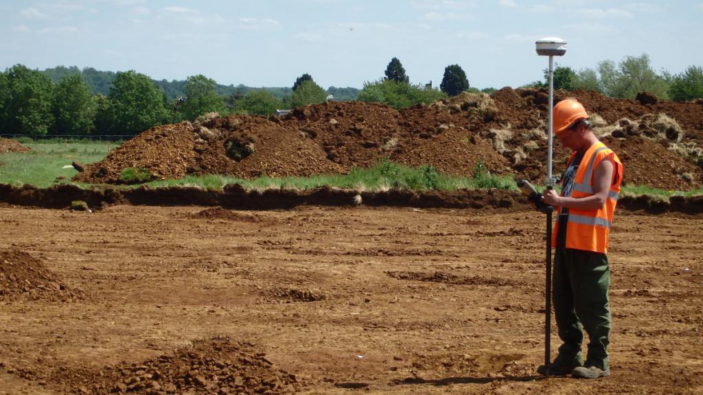
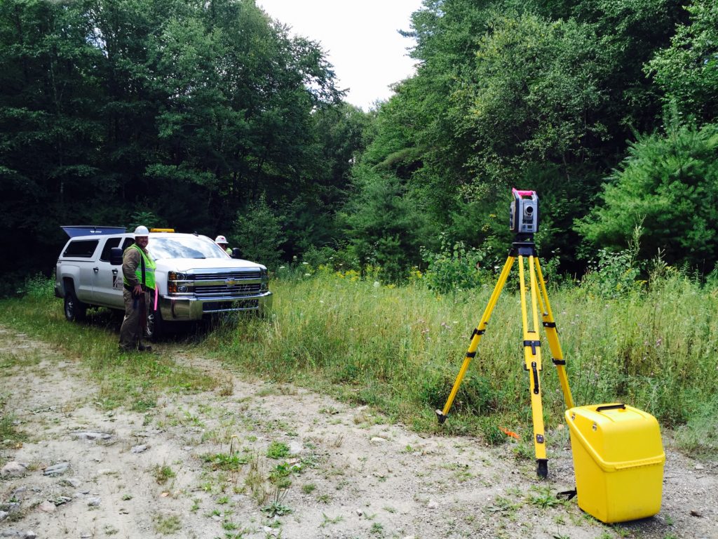
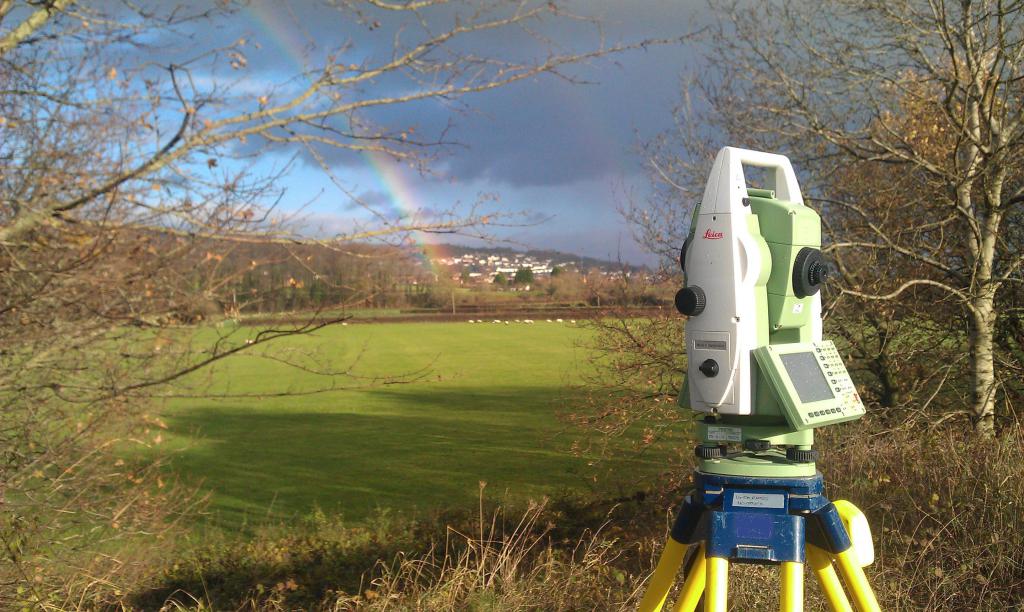
Land surveying
It is carried out exclusively by two engineers with the necessary equipment. They should talk with the owner of the territory and the owners of neighboring plots to identify differences.
The process itself is divided into stages:
- documents received from the customer are examined;
- a land surveying project is being formed;
- All neighbors are notified about the ongoing process;
- an act is drawn up in which the borders of the territory are agreed with the neighbors;
- geodetic works are carried out;
- the actual area of the plot is established;
- a plan is formed on which all the drawn boundaries are indicated;
- documentation is issued to the customer confirming the survey.
The lead time for this process depends on the complexity and size of the site.
Documents receiving
Based on the work performed, the engineer draws up certain documentation necessary for the customer. What document is issued after surveying a garden plot? The customer receives a survey plan, in which there are two parts:
- textual, which describes all the parameters of the territory;
- graphic, represented by the plan of the plot with the drawn borders.
The measurements and calculations are entered. This information will be recorded by Rosreestr employees.
Change Registration
To do this, you need to contact the Rosreestr with the documents for the object and the plan received from the engineer. Additionally, an application is formed in the prescribed form. A copy of the owner’s passport is required, as well as a receipt for the payment of state duty.
Based on the transferred documents, an extract from the USRN is formed, which is now issued instead of the cadastral passport. It contains basic information about the existing object.
Registration of the right to the site
To register the right to an object, one must submit to the Rosreestr an extract from the USRN, a copy of the passport and SNILS, as well as an application for registration. Documents can be brought not only to Rosreestr, but also to the MFC. Registration is paid, so a fee of 350 rubles is paid. A few days later the applicant is provided with an extract from the USRN, which indicates that he is the owner of the territory.
When is land surveying impossible?
It will not work out if:
- land is located in a protected area owned by the state;
- the plot is a common place;
- land litigation open;
- disagreements with neighbors come to light which can only be resolved through a court of law;
- there are other heirs who claim the object.
If the cadastral engineer reveals this information, then he cannot continue to continue surveying.
Thus, each owner of the land should know why a land plot is surveyed, how this process is carried out, how much it costs and how long it takes to implement. Based on the procedure, you can get information about the boundaries of the territory. The resulting plan is used to register changes and ownership in Rosreestr. Only after performing all these actions is it possible to make various legal transactions with the land.