Development land market in the Russian Federation, as well as the scale of individual housing and commercial construction, require the expansion of cadastral valuation of land. One of the results of this work is the determination of the cadastral value of land plots.
The cost of land in the State Cadastre - the basis of all types of payments for it
How to find out the cadastral value of a land plot, which serves as the basis for almost all financial settlements between land users and the state? Land owners pay land tax, tenants - rent, who want to buy land from the property of the state or municipality - buy-out.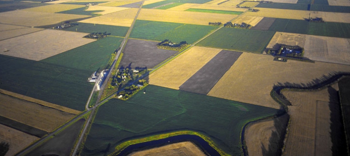
All these payments - and land tax, and the cost of rent, and the cost of redemption of land depend on what cadastral market value of the land.
State system of land records
Cadastral is the value listed in the list of characteristics of this land in the State Cadastre of Real Estate (GKN), which is entrusted by law to a special public service - Rosreestr. For Russia, the term “cadastral value” itself is relatively new. Fifteen years ago, in August 1999, after the adoption of the relevant Resolution by the Government of the Russian Federation, the State Cadastre began evaluating all Russian lands in order to formulate an answer to the standard question: “How do I find out the cadastral value of a land plot for tax purposes?”.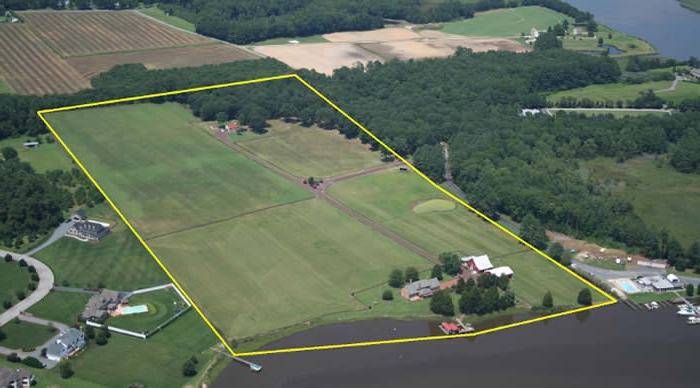
Indeed, according to the RF Labor Code and the RF Tax Code, it is this value that is taken as the basis for calculating the land tax rate. From this, a direct relationship becomes apparent between the change in the value of the plot recorded in the State Property Committee and the amount of tax payable for the use of land.
Who determines the value of land listed in the State Cadastre?
The occurrence of this value is the result of a whole range of work on the assessment of all land plots listed in the State Cadastre. The result of this work is the determination of the cadastral value of the land according to the methodology established by law. In this land, having a different category, for which various uses are permitted, are evaluated in accordance with several guidelines for their assessment.
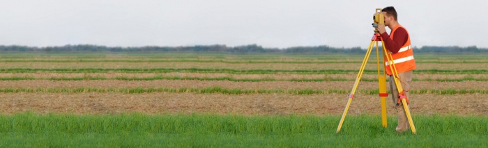
Today, the methodology for assessing the value of land in order to enter it in the State Property Committee is chosen by specialized appraisal organizations, which conduct the assessment itself. According to the law, all of them must be members of the self-regulatory organization of appraisers (SRO), created to regulate and control valuation activities. Such SRO brings together appraisers on a membership basis and must be entered in a single state register of SROs.
What are the principles for calculating cadastral value?
Although there is a huge variety of land categories and many types of land use permitted by law, the general methodology for calculating the cadastral value of a land plot is to combine the valued objects into groups for which a single valuation method called mass valuation is used. Such groups may include, for example, plots of land under multi-story residential buildings, objects of trade, garden plots, etc.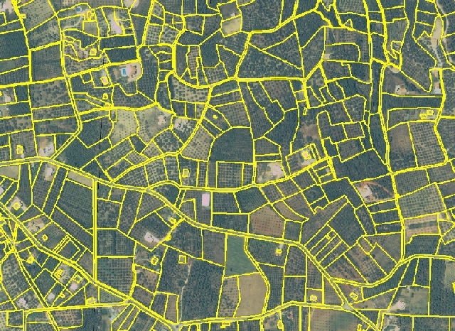
The cost of land under unique objects of a kind (power plants, railway stations, airports, water bodies in economic circulation, etc.) is determined by the individual assessment method. The value of other groups is determined on the basis of the application of alternative methods of valuation arithmetically, when the minimum or average values of cadastral values are used. Sometimes the so-called “nominal assessment” is used, in which the actual cost of the plot is not calculated, but is set equal to a certain minimum amount, for example, one ruble.
The procedure for determining the value of the purchase of land
According to the RF Labor Code, plots of land on which various capital buildings belonging to private owners are located can be purchased from the property of the state or municipality. Today, these general rules apply for determining the value of redeemed plots:
- The redemption value of the land is announced by the authorities, the level of which corresponds to the form of ownership of the land (federal property, the owner is a subject of the Russian Federation, property of the municipality).
- Until the above authorities have not established at what cost to buy the land, it should be equal to its value in the State Cadastre.
- In any case, the price of a land plot established by an authority should not be higher than its cadastral value.
- The preferential procedure for the redemption of land that existed before 01.07.2012 is maintained if the following is simultaneously fulfilled:
- the land plot was leased during the period of benefits from 10/29/2001 to 01/07/2012;
- when concluding the specified lease agreement, the owner of the real estate object should already have the right to permanent (unlimited) use of the redeemed plot, which is quite common.
The cancellation of the preferential procedure for the redemption of land since July 2012 makes the need to reduce the cost of redeemed land contained in the State Cadastre more and more relevant.
How to find out the cadastral value of a land plot?
Information from the State Property Committee is publicly available, and the value of the cadastral value of any plot of land, in addition, is provided free of charge. The official website of Rosreestr contains the Public Map of the land plots listed in the State Cadastre. How to find out the cadastral value of a land plot from this map, if you know where the plot of interest is located, and can find out what it looks like in the plan? In this case, simply zoom in on the map in the subject of the Russian Federation you need until the contours of the desired area appear on the screen. When placing the cursor inside its perimeter, a tab containing basic information about it, including its cadastral value, will be displayed on the screen with a click of a computer mouse.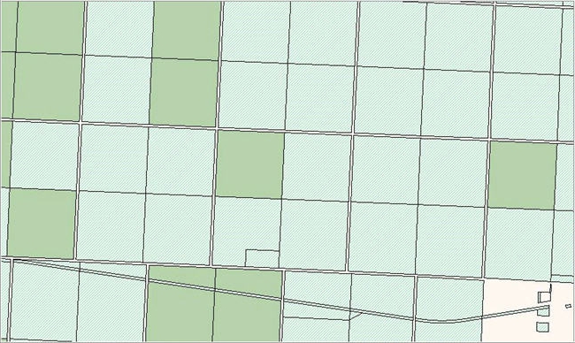
You can find a site on the map by entering its cadastral number in the search box. If there is such a site in the database, its plan will automatically be displayed on the monitor screen along with the main characteristics - land category, type of permitted use, area and cadastral value.