Land management, cadastre and land monitoring are types of control and accounting activities that are carried out at the state level. For each of them a specific order is provided. Next, we consider these activities in more detail. 
Land Management and Land Monitoring: General Information
These concepts have common features. So, land management is a study of the state of the soil, planning and organization of rational use of plots. Within the framework of this area, measures are being taken to protect, create new and streamline existing facilities, establish their boundaries. Land monitoring is a comprehensive monitoring system for the state of the resource.
Observation Objectives
Land monitoring is carried out for the timely detection of changes, their analysis. Based on the results obtained, recommendations are developed to eliminate and prevent the consequences of adverse processes. Monitoring provides the state land cadastre with the necessary information. The information obtained during the observations contributes to a more rational use of the resource. They also provide control over security measures. Land monitoring tasks also include forecasting likely changes. The information received is used not only by government agencies. Information on the status of the resource is available to all interested citizens and organizations. 
Event Features
Land monitoring covers all areas on the territory of Russia, regardless of their form of ownership, nature of use and intended use. Within this area, systematic observation is carried out in various ways. The main ones include:
- Laboratory research.
- Stock analysis of soil conditions.
- Remote sensing.
In the course of these measures, changes are detected and the state of the lands, plots, fields, land use objects is evaluated. The processes related to the reduction of fertility, soil pollution with heavy metals, pesticides, radionuclides and other toxic compounds are also analyzed. Land monitoring also includes the study of the territories of settlements, treatment facilities, gas and oil production facilities, landfills, fertilizers, reservoirs, fuel and lubricant warehouses and so on. In addition, a qualitative assessment of the plots and determination of their property value is carried out. 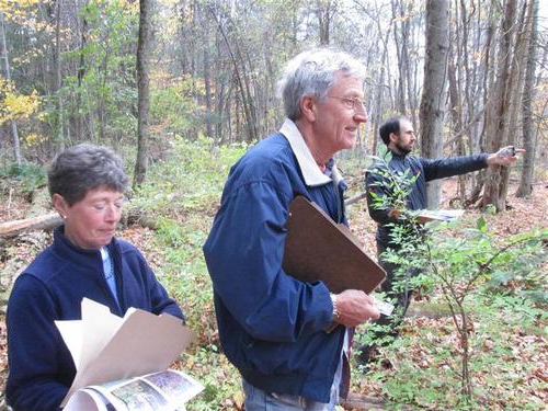
Classification and Performers
Land monitoring is carried out by the Federal Supervisory Service in the field of environmental management and ecology, as well as by the Agency for Real Estate Accounting. Gosstroy, the Ministry of Agriculture of Russia and other interested executive bodies also participate in the events. Monitoring of agricultural land can be periodic (once a year or more), operational (current changes are recorded) or basic. Depending on the territory that falls within the coverage area, the observations may be local, regional or federal.
Cadastre and land monitoring
The results of observations and evaluations are laid in the basis of proposals that are developed and agreed with the Ministry of Natural Resources and the Federal Supervisory Service in the field of environmental management and ecology. After approval, they are sent to the Federal Service for State Registration, Cadastre and Cartography.All these bodies analyze the materials received and each year, no later than April 30, submit to the Government a report on the use and condition of the resources.
Accounting system
The land cadastre is a systematic summary of documented data on the natural, economic and legal status of plots. The rules for its drafting and amendments are established in the RF RF. The individualization and description in the Unified State Register of Sites gives each of them such characteristics that make it possible to distinguish it from other territories and perform its economic and qualitative assessment. Accounting is accompanied by the assignment of a cadastral number to each allotment. 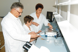
System goals
A single registry is created for information support:
- Municipal and state resource management.
- Activities aimed at increasing and maintaining soil fertility.
- State control of the protection and use of land.
- Economic assessment of sites and accounting for their value as part of a system of natural resources.
- State registration of rights to real estate and transactions with it.
- Land management.
- Definitions of reasonable fees for using the site.
All information contained in the inventory is publicly available. The exception is data classified by law as classified information. 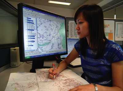
Map
It contains information about the boundaries and ownership of the plots. Some cadastral maps include additional information. In particular, it includes local names of sites, identification (unique) numbers, information about servicing authorities, numbers of certificates of ownership, area of registered sites.
Resource Planning and Organization
These activities are carried out by land management organizations. Plots on the territory of the country, municipal and other administrative units, special zones, as well as their parts, serve as objects in this area. The legislation establishes the legal framework for land management. The procedure regulated by normative acts allows ensuring rational use and protection of the land, creating a favorable environment, and improving the landscape. 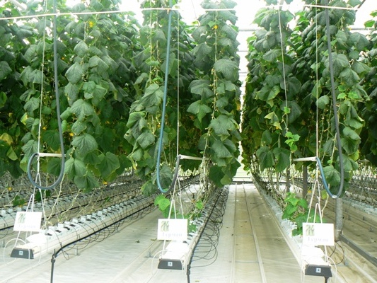
Intra-economic planning
It represents a complex of measures (activities) aimed at ensuring the rational use by legal entities and citizens of plots for agricultural production on them. Internal economic planning also applies to territories in which communities of small indigenous peoples of the Far East, Siberia, and the North live, as well as persons equated to them.
Territorial organization
This type of land management concerns the study of the state of the land, planning for its rational use and protection. It applies to all areas, regardless of their form of ownership and purpose. Activities include work to determine the boundaries of new allotments, to clarify the limits of existing ones.
Subjects
These are recognized:
- Federal government authorities acting on behalf of the Russian Federation.
- Regions of the country.
- Bodies of administrative-territorial units.
- Citizens.
- Organizations, enterprises, institutions.
There is also a category of special subjects. These include communities of small indigenous peoples and persons equated to them. 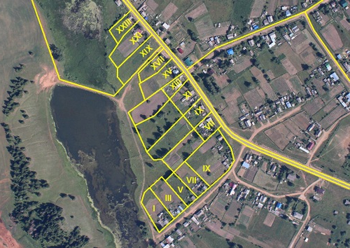
Rationalization proposal
Over the past few years, as part of the administrative reform carried out by the state, an opinion has often been expressed on the formation of a single service for the protection of land resources. It should operate on the basis of the Federal Accounting Agency. In general, this point of view is accepted by many experts. This is due to the importance of the issue of soil conservation from pollution and other adverse factors that reduce its fertility.In this regard, it becomes necessary to monitor the state of the resource and ensure its protection by a specialized service. Often, many of today's authorized supervisory authorities, due to their workload, cannot provide an effective solution to this problem.
Additional Information
According to Government Decision No. 177, which regulates the organization and implementation of state environmental monitoring (environment), measures to monitor and analyze the information received concern not only lands. They apply to water bodies, forests, air, the state of the subsoil, inland sea waters, the territorial sea of the Russian Federation, continental shelf, objects of the animal world. Events also concern the special economic zone of the country. It should be noted here that the results obtained during the observations are closely related to each other, since, for example, the state of the objects of the animal world, forests, and so on depends on the state of the soil. The agency Rosnedvizhimost acted as the federal body that carried out activities in the field of the land cadastre. By Presidential Decree No. 1847, this authority was abolished.